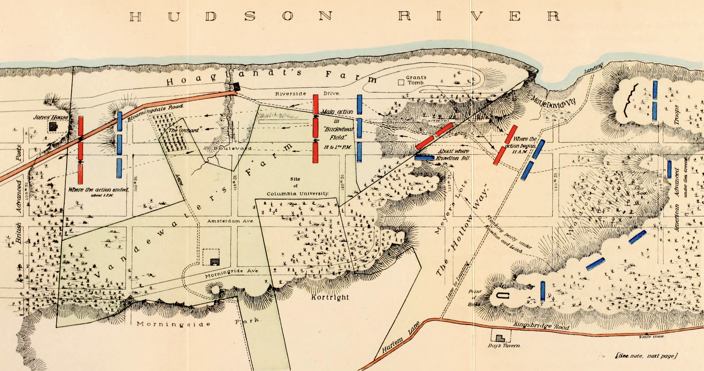
A map of New York City and Manhattan Island, showing the American lines and escape routes up the Post Road on the west, and through Greenwich Village (Monument Lane, now Greenwich Avenue) and up to connect with the Bloomingdale Road on the east. From The Campaign of 1776 Around New […]
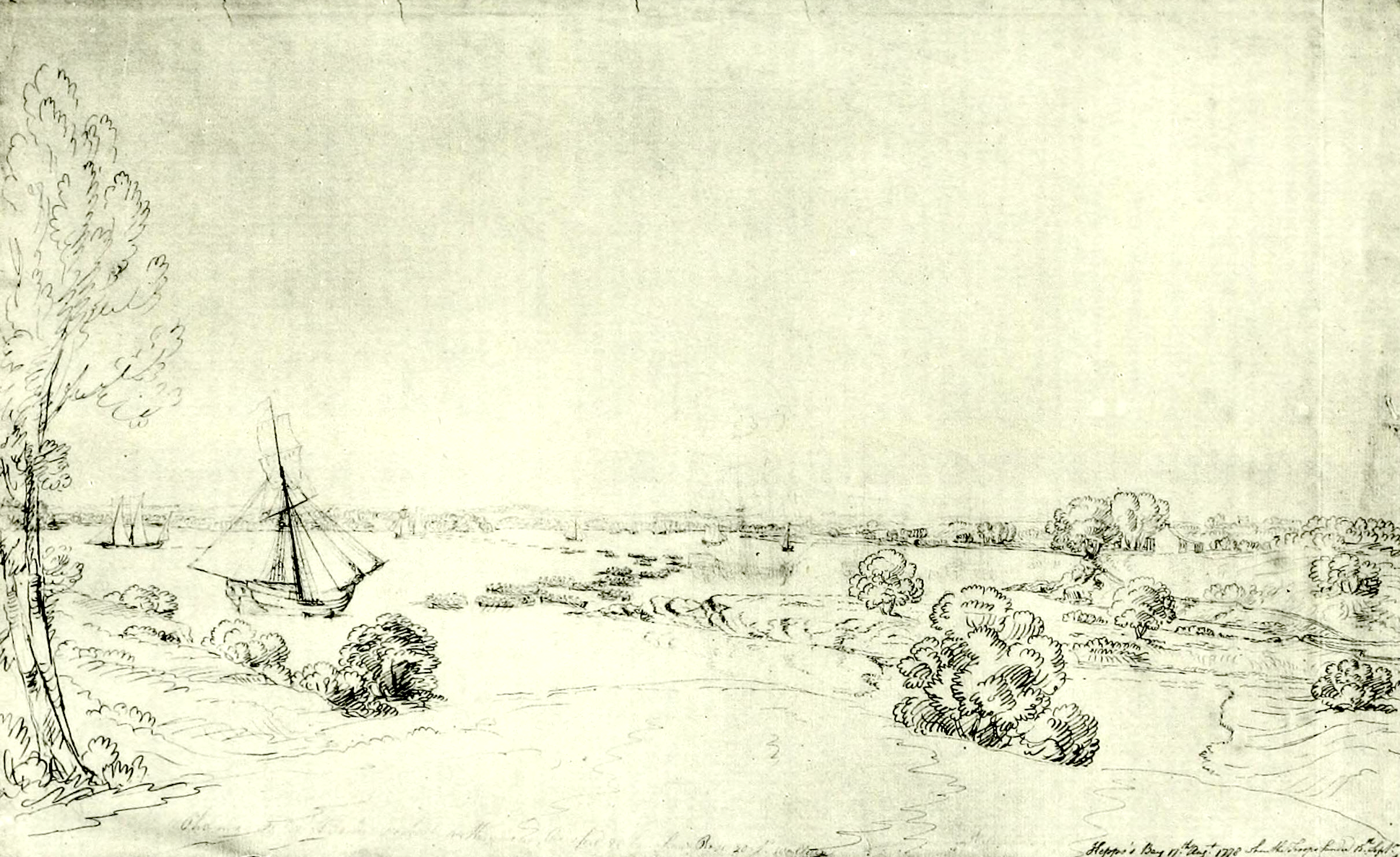
The Bad Consequences of a Surprise: Invasion of Kip’s Bay
For much of mid-1776, a key question for George Washington centered on what should be done about New-York, and whether it should be defended or abandoned. York Island, upon the tip of which stood the city, had some distinct advantages, but was also highly vulnerable to attack from the water. […]
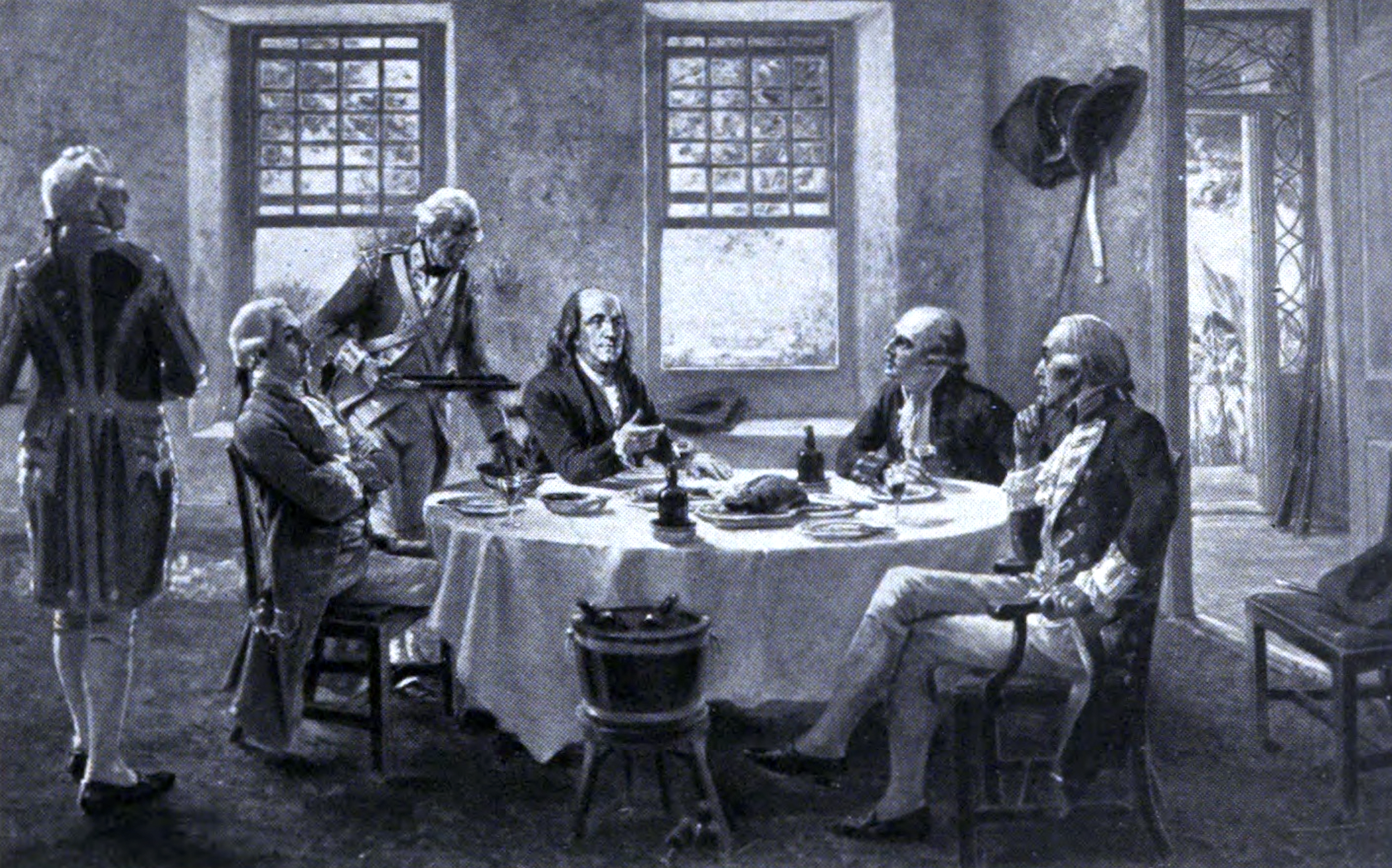
The Ill-Fated Peace Conference: September 11th, 1776
A map of Tottenville and some of its notable features, including Burial Ridge. This area is the site of the largest known Native burial ground in the city. The Billopp House is towards the bottom. From Staten Island Names, Ye Olde Names and Nicknames by the Natural Science Association of […]
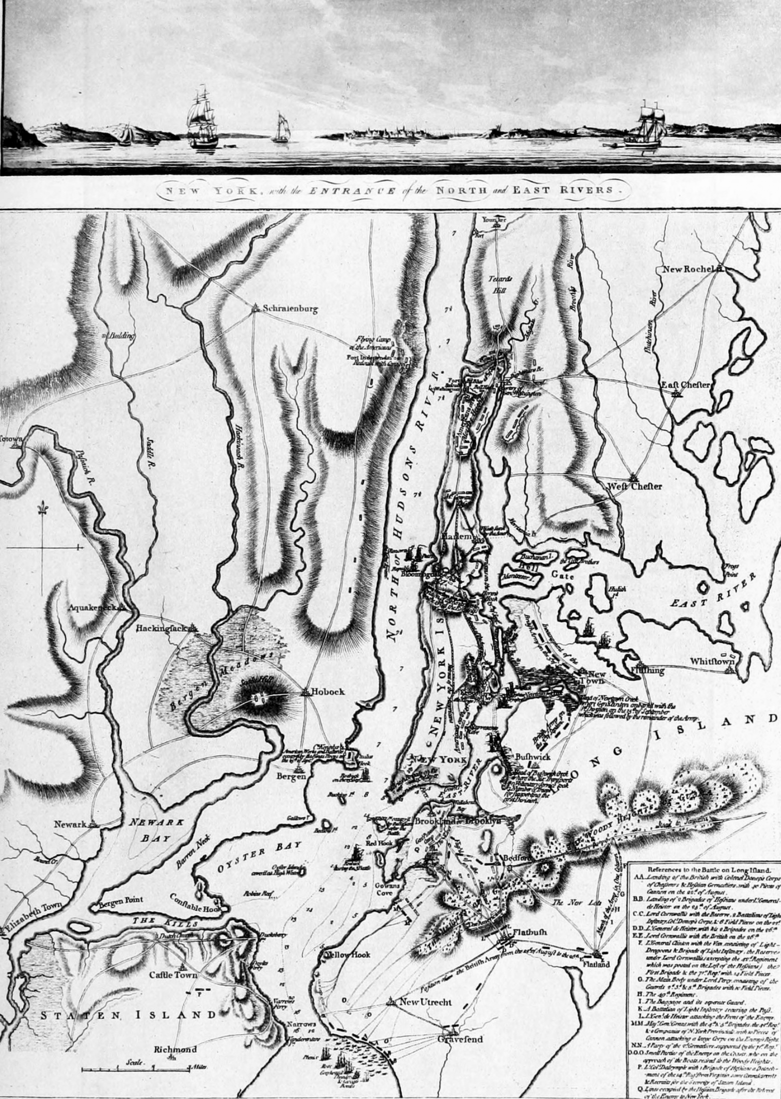
The Invasion of Brooklyn: August 22nd, 1776
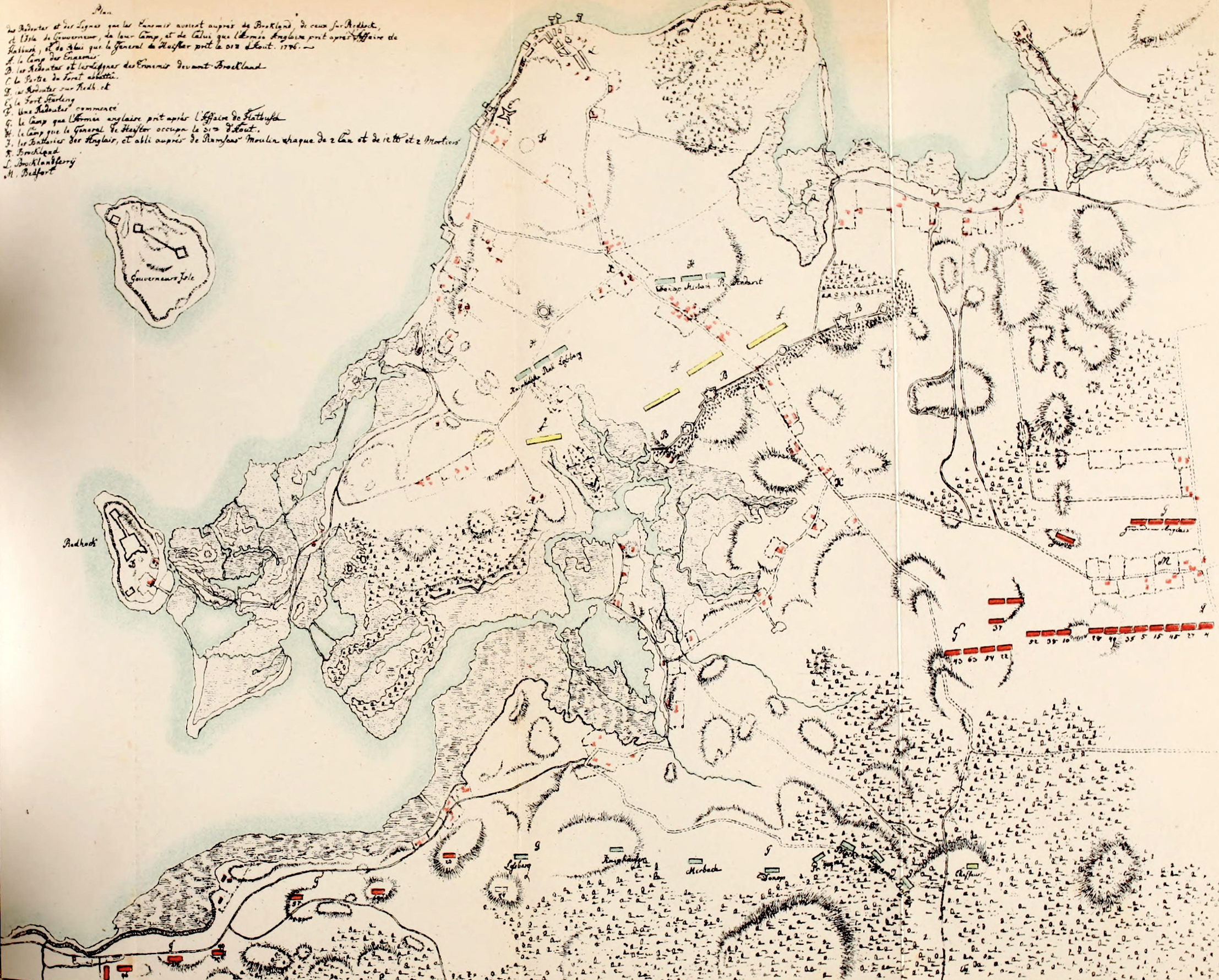
A Plan of New York Island, with part of Long Island, Staten Island & East New Jersey, with a particular Description of the Engagement on the Woody Heights of Long Island, between Flatbush and Brooklyn, on the 27th of August. This view, also known as The Howe War Plan, is […]
The Battle of Brooklyn in Maps
This year marks the 250th anniversary of the Battle of Brooklyn. It is also known as the Battle of Long Island, but over the years many people have started referring to it as the former, since the battle took place within what is now Kings County, or Brooklyn. At the […]
Native Paths in Manhattan: Lower Manhattan, Part 1
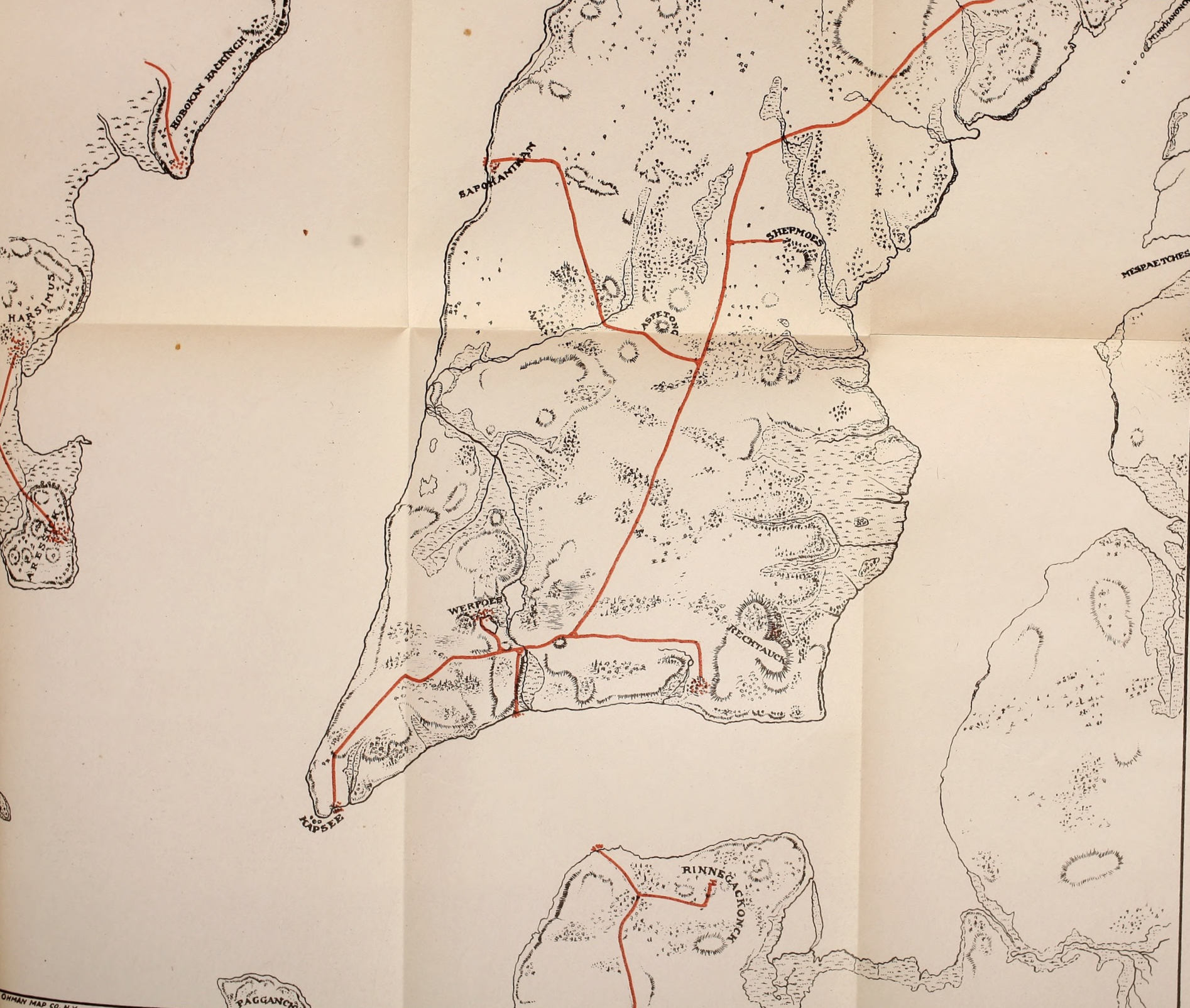
A fascinating map showing the native paths in lower Manhattan as they appeared before European settlement. From Indian Paths in the Great Metropolis, by Reginald Pelham Bolton. The original people have lived for thousands of years in the area that is now Greater New York. Several shared the island of […]
How to Topple a King: July 9th, 1776
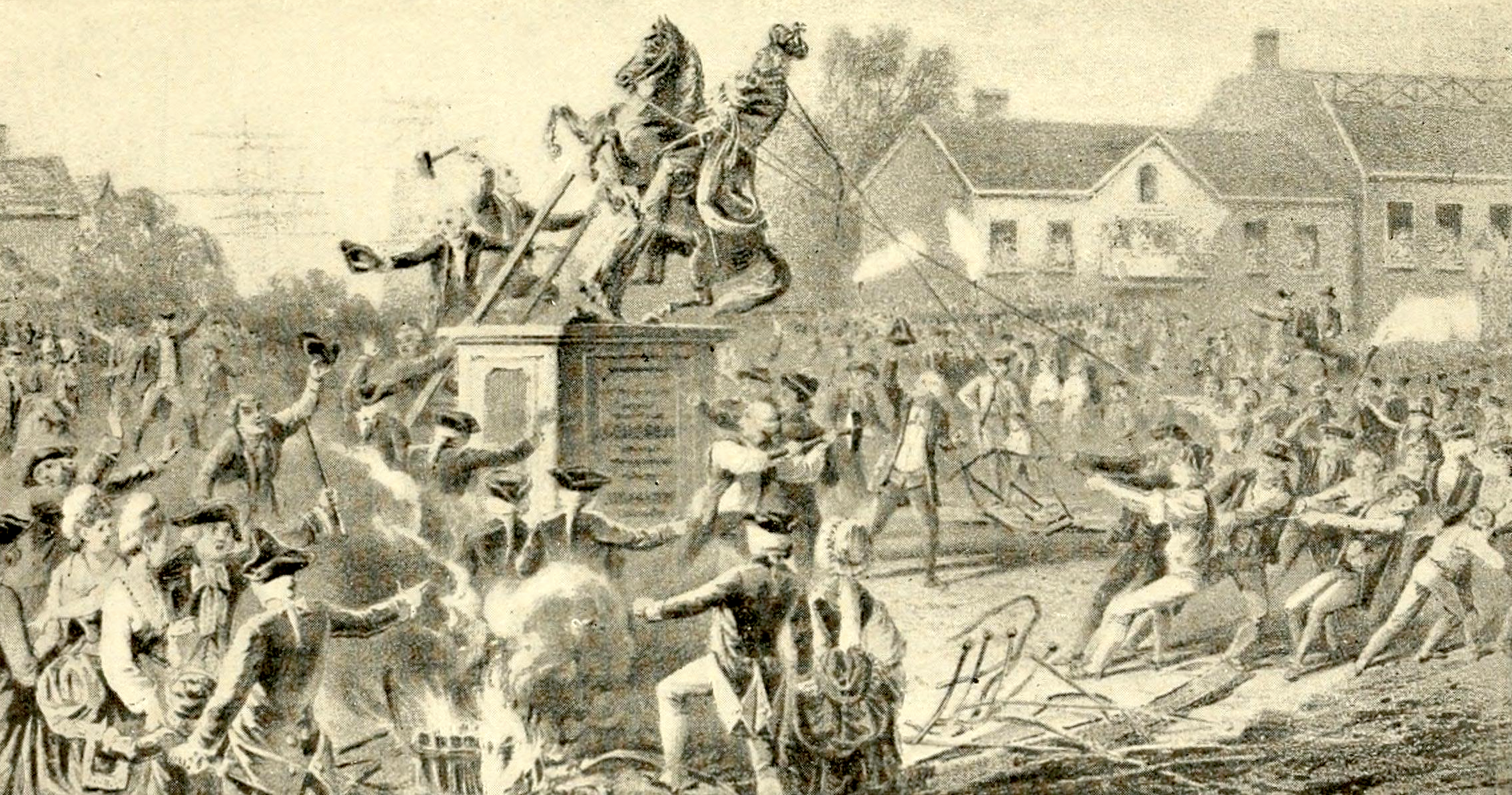
A group of angry New Yorkers tearing down the statue of King George III in Bowling Green on July 9th, 1776. This view is looking west towards Broadway, with the Archibald Kennedy House on the right, and Fort George on the left. From A Landmark History of New York by […]
Flag Day: A New Constellation
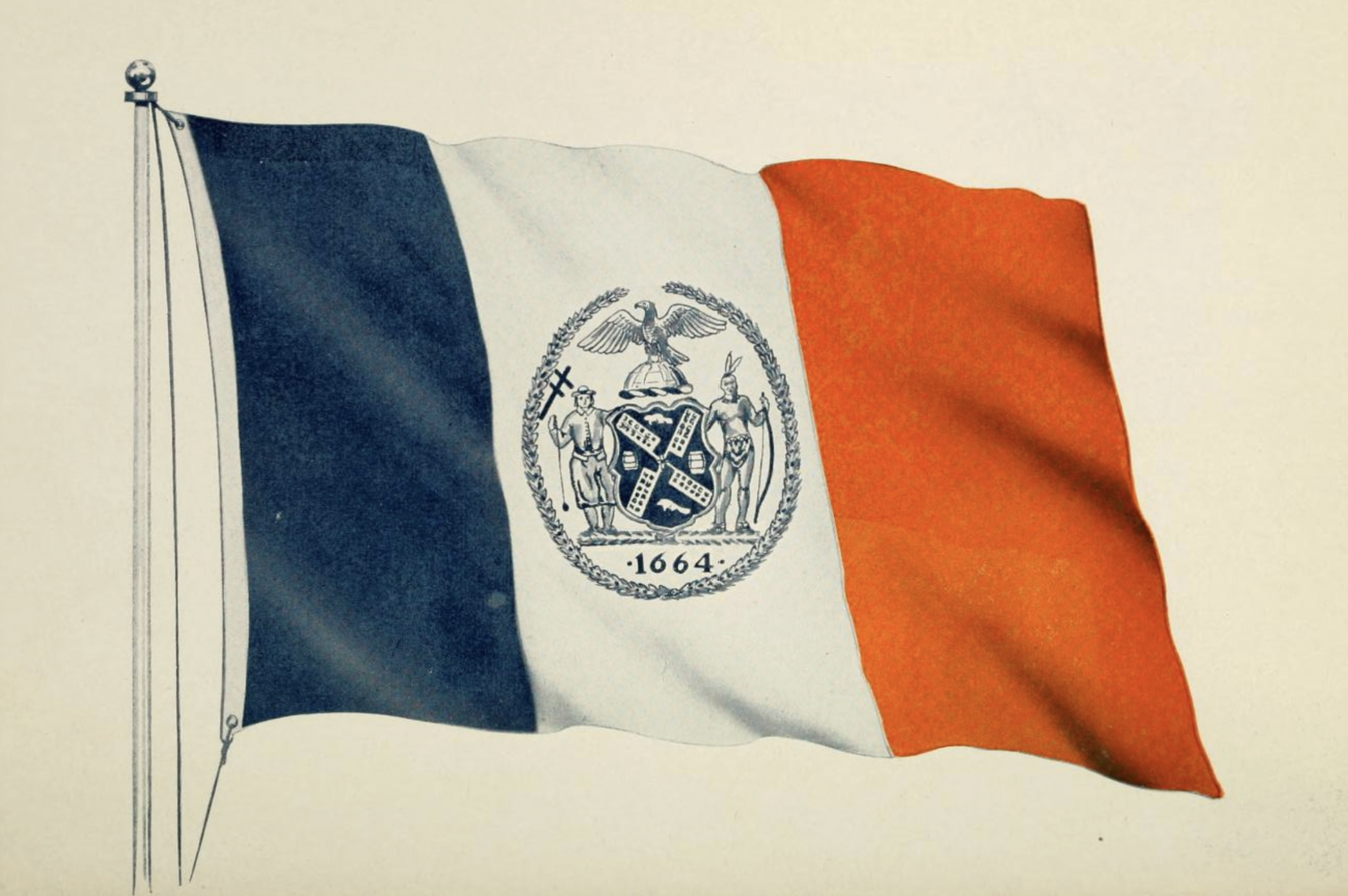
Flag Day commemorates the day in 1777 when the Second Continental Congress officially adopted a new flag, with thirteen red and white stripes and thirteen stars on a blue field, representing a new constellation. It was first displayed in August 1777 at Fort Schuyler in upstate NewYork, raised by Peter […]

The New York Knickerbockers in the Five and Six-Ties
Father Knickerbocker, the inspiration for (thanks to the fantastic Washington Irving) the name of the New York Knickerbockers. This was used as the team’s logo through the 1963-1964 season. From The New York Knicks 1954-55 Media Guide. Cover of the New York Knicks 1957-58 Media Guide Thrilling Garden Action – […]

A Token of Appreciation for the Metrocard
With sales of the Metrocard ending today, I can’t help but reminisce and reflect upon its history, which spans three decades. First introduced in 1994, the Metrocard gradually replaced the tokens that had been used since 1953, finally superseding them in 2003. Since then, the Metrocard has become an integral […]